|
| *****SWAAG_ID***** | 74 |
| Date Entered | 12/01/2011 |
| Updated on | 20/12/2011 |
| Recorded by | Tim Laurie |
| Category | Burnt Mound |
| Record Type | Archaeology |
| Site Access | Public Footpath |
| Location | Appersett. Two large burnt mounds 400m south of Holme Heads Bridge below dismantled railway spoi heaps |
| Civil Parish | Hawes |
| Brit. National Grid | SD 8515 9118 |
| Altitude | 248m |
| Record Name | Appersett. Two large burnt mounds 400m south of Holme Heads Bridge below dismantled |
| Record Description | Two large sites at spring stream below dismantled railway spoil heap. Found by Mrs Susan Foster.
This burnt mound was subjected to geophysical survey by University of Bradford, see Laurie 2003. Figure 72.
This survey established the presence of several'hot spots' in the vicinity of the main mound (the lower site) which are interpreted as hearths for heating the stones. |
| Dimensions | Large, high |
| Additional Notes | Dimensions. Size: Small <6m, Medium 6m-9m, Large 10m-15m, Extra large >15m. Height: Low <0.5m, Average 0.5-1.0m, High >1.0m. |
| Image 1 ID | 231 Click image to enlarge |
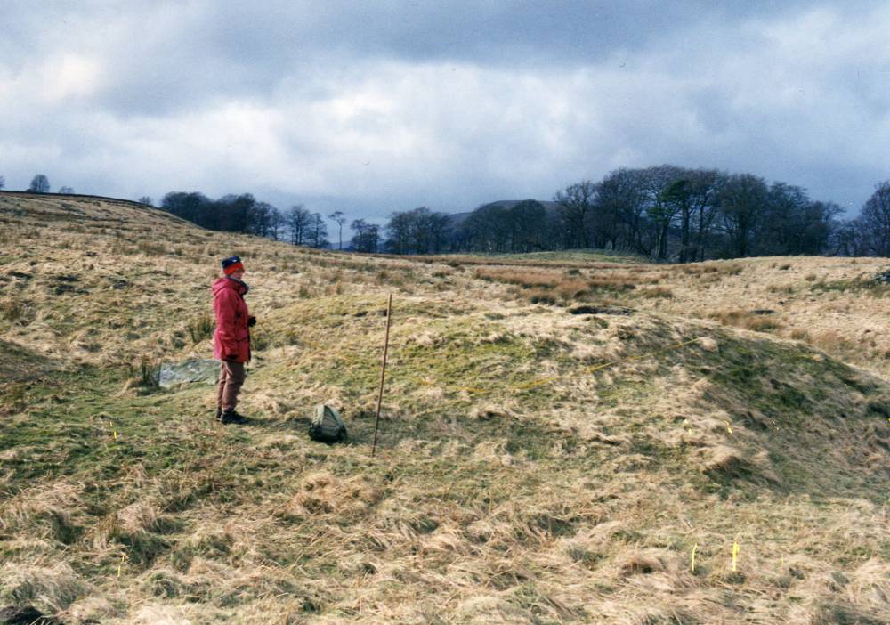
| Image 1 Description | The Lower Burnt Mound, one of two here some 300m apart on the same spring stream. | 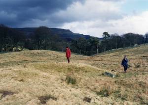 |
| Image 2 ID | 232 Click image to enlarge |
| Image 2 Description | The Lower Burnt Mound, this site was the subject of Geophysical Survey-see Laurie 2003, Figure 72. | 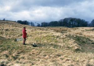 |